| Message/Author |
|
|
|
|
Hi Veronica and Laura,
OK first to answer your question � yes you should really have some sort of sediment input � otherwise the river will incise... you may get OK results with no input � maybe that is something to try first.
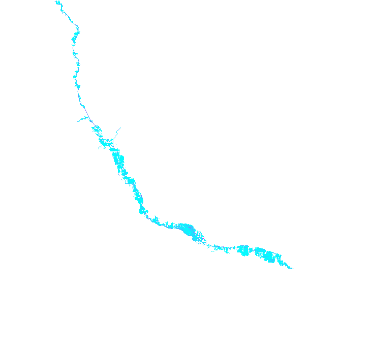
The bigger problem is with your DEM � that has many obstructions to the channel � so the water cannot flow from inlet to outlet. The first image attached shows pits in the DEM, that CAESAR is trying to fill as it goes along � the purple shows where water is pooling as it meets obstructions..
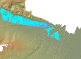
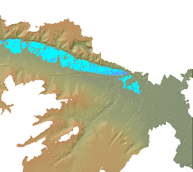
On the second image, near the exit, you can clearly see where there is a bridge crossing the river that has not been removed from the DEM � and therefore acts as a dam! You need to clear up the DEM so water can pass easily...
Also, at the end of the river - there is much flat land - you may have to 'construct' some walls either side of this or water will just flow off the edge of the DEM
How to do this? Well, you probably have to use raster edit and cut out the bridges and obstructions on the DEM. You may also try using ARC-GIS tools like the arc-hydro set to fill any sinks and then burn a channel in where the channel should be.
Tom
Dear Tom,
We kept working on our master thesis at Utrecht University (The Netherlands) related to the modeling of the river Geul with Caesar programme. As we mentioned before we are using reach mode for this issue.
When we plug in the input data in the model (discharge data in hydrology tab) we were wondering if it is necessary to include the quantity of sediment of each grain size in the same file.
Please find in one of the attached files one of the inputs, the one for example which is located at Cottessen (upstream part of the river). It contains the hourly discharge values (m3/s) from 2006 to 2011, and due to the scarce sediment data (related to the discharge data) we could compile, we set these values to 0. Is it strictly necessary to include sediment and suspended sediment in these file? or could we get reasonable results setting these to 0?
As you can see in the the xlm file, we included the different grain sizes and proportions in the sediment tab. We set most of the parameters as the default values as we are trying the first runs of the model. We also include the rest of the input files and the DEM in case you try to run it.
Thanks for your attention.
.... |
|
|
|
|
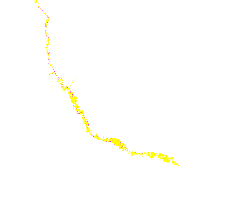
Sorry, the top image is wrong - it should be this one...
 |
|
|
| Back to top |
|